About Geocontinua
Research-grade geospatial expertise, built for operational teams.
Geocontinua is an independent consulting practice founded in 2026, focusing on geospatial AI, remote sensing workflows, and research-grade data science. We are a boutique, client-oriented consultancy, driven by curiosity, integrity, and excellence.
Geocontinua works with companies and organizations that need robust geospatial and remote sensing based products. We offer expertise in AI systems, translation between scientific analysis and business applications, and practical implementation support across research and operational environments.
Team
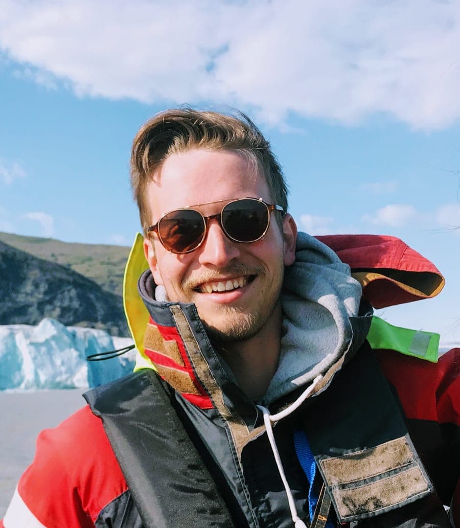
Erik Duncan
Founder and Principal Consultant
Erik is the founder and principal consultant at Geocontinua. With a background in geospatial data science and remote sensing, he brings 8 years of experience to Geocontinua. His topics of interest include conflict monitoring, humanitarian de-mining, very high resolution optical image analysis, machine learning, and edge computing.
He has worked for the Canadian Federal Government, and most recently as a Senior Faculty Specialist at the University of Maryland's Department of Geographical Sciences. He has co-led a number of NASA-funded research projects, and extensively contributed to IARPA and U.S. Department of Defense projects. He holds a Master of Science from the University of Copenhagen.
In addition to his technical work, Erik has a strong background in science communication, with main authorship and co-authorship on several peer-reviewed publications. He furthermore has extensive experience presenting to both technical and non-technical audiences, at the annual meetings of the American Geophysical Union, the World Bank, the U.S. Geospatial Intelligence Foundation, NASA, and industry events. His entrepreneurial mindset and business development skills were further honed in the European Space Agency's Business Incubation Centre program.
Erik currently lives in Brussels, Belgium and is father to one very young cartographer.